Pinos de Gáldar (Guía)
| Start Town | Altitude | Elevation Gain | Length | Gradient | Difficulty | Rating |
|---|---|---|---|---|---|---|
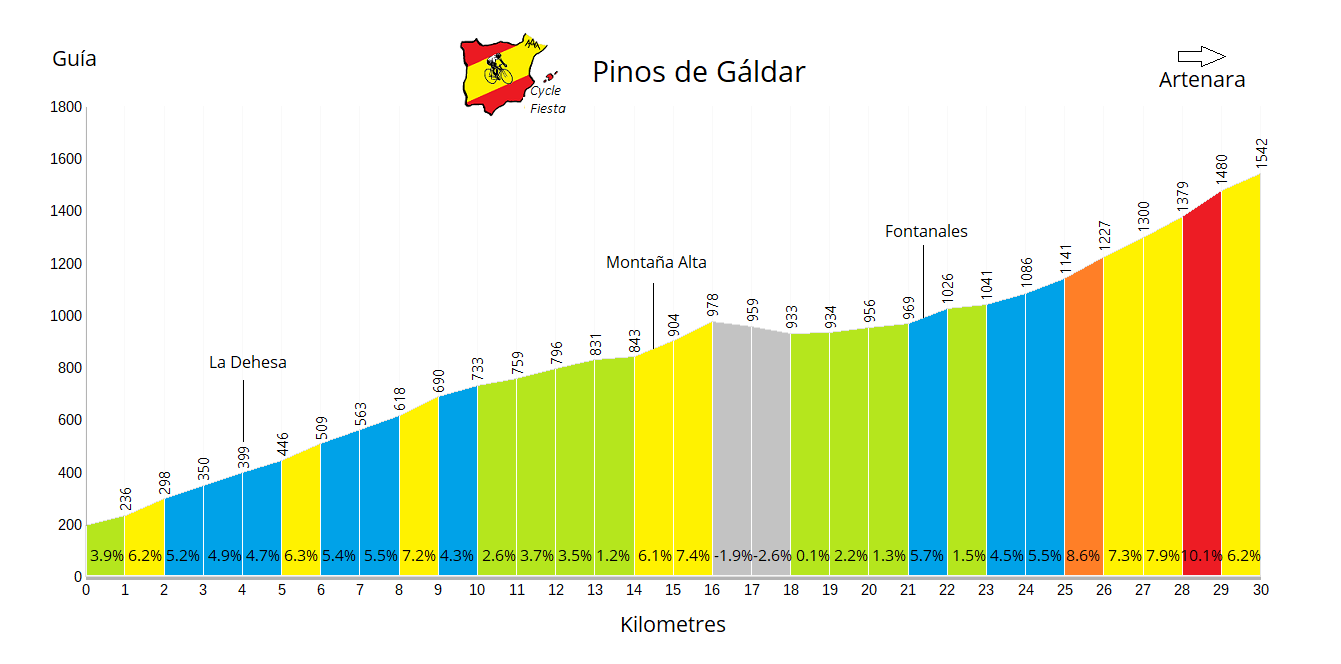
| Guía | 1542m | 1345m | 30.0 km | 4.5% | 935 | *** |
Climb Description
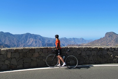
Pinos de Gáldar is a scenic pass situated in the high mountains in the heart of Gran Canaria. It is one of several gateways from the north to the south of the island, and can be climbed by a wide variety of routes.The climb from Guía is a long and mostly gentle ascent along the GC-70 road which rises up from the coast. It's an enjoyable and rewarding climb, with some fantastic views on the upper section, particularly after passing the village of Fontanales. The pass itself is surrounded by picturesque volcanic rocks and pine forests.
Pinos de Gáldar is usually open throughout the year.
Roads & Traffic
The road surface is in very good condition throughout.
There is little traffic throughout the climb.
El Pagador
Gáldar
La Aldea de San Nicolas
Risco Caído
Pico de las Nieves
Aserrador
Cenobio de Valeron
Cruz de Gáldar
Roque Bentayga
San Bartolomé
Tamadaba
In the links below you can find out more about this tour and other similar holidays that we are currently running in Spain.
There is little traffic throughout the climb.
Alternative Routes
Pinos de Gáldar can be climbed from many different sides. You can arrive there from almost any point on the island using a different combination of roads. We consider the main cycling ascents to be starting from the following:El Pagador
Gáldar
La Aldea de San Nicolas
Risco Caído
Nearby Climbs
Pico de las Nieves
Aserrador
Cenobio de Valeron
Cruz de Gáldar
Roque Bentayga
San Bartolomé
Tamadaba
Cycling Holidays
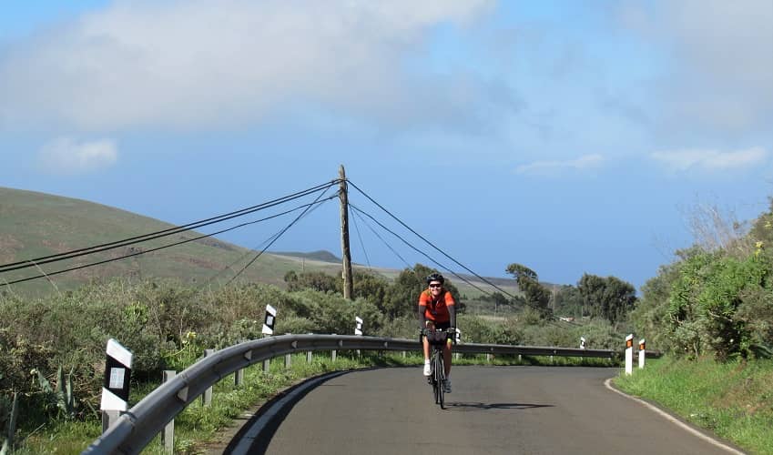
Pinos de Gáldar is climbed and descended from various sides on our cycling holiday to Gran Canaria.In the links below you can find out more about this tour and other similar holidays that we are currently running in Spain.
 Spain
Spain
