Chirivilla (Olocau)
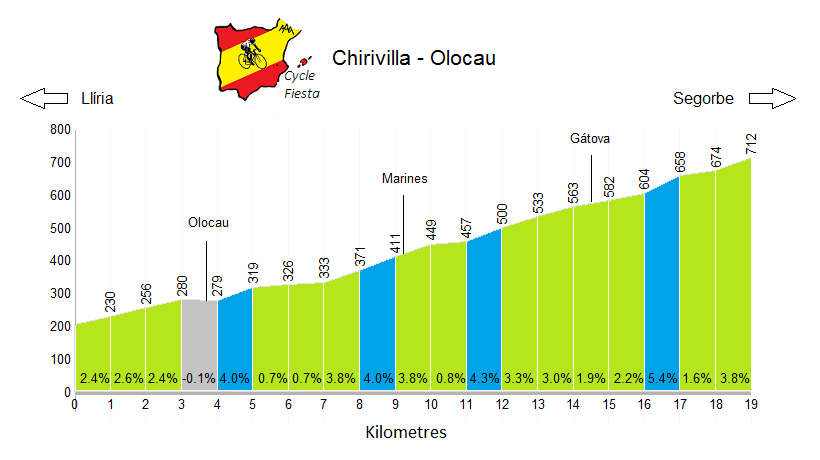
| Start Town | Altitude | Elevation Gain | Length | Gradient | Difficulty | Rating |
|---|---|---|---|---|---|---|
| Olocau | 712m | 506m | 19.0 km | 2.7% | 210 | *** |
Climb Description
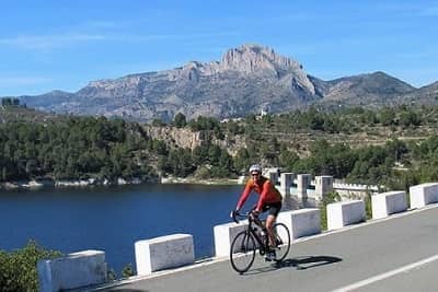
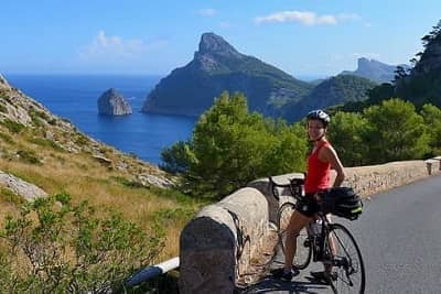
Chirivilla (also known as Pico del Águila) is a pleasant cycling climb situated on the border of the Valencia and Castellón provinces. It is in the Sierra Calderona mountain range; an area which is famed for its many olive, orange and almond trees.The climb from Olocau is by far the longest side, but there are numerous downhill and flatter sections, making it quite an easy climb. The scenery is picturesque and the route passes through Gatova and Marines - both very typical of the quiet rural villages in this part of Spain.
Chirivilla is open throughout the year, and the mild Mediterranean climate makes it a really enjoyable climb in the winter.
Roads & Traffic
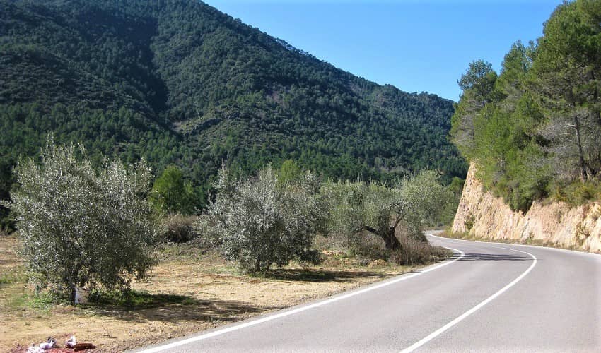
The road is in generally good condition. It is slightly bumpy in places, but is fully asphalted and absolutely fine for riding on a road bike.
There is little traffic on the climb.
Montmayor
El Garbí
Almedijar
Eslida
In the links below you can find out more about this and other tours that we run nearby.
There is little traffic on the climb.
Alternative Routes
Chirivilla can also be climbed starting from the towns of Altura and Segorbe .Nearby Climbs
Montmayor
El Garbí
Almedijar
Eslida
Cycling Holidays
Chirivilla can be climbed as an optional route extension on our Valencia Cycling Holiday cycling holiday.In the links below you can find out more about this and other tours that we run nearby.
 Spain
Spain
