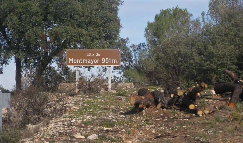
Montmayor (Altura)
| Start Town | Altitude | Elevation Gain | Length | Gradient | Difficulty | Rating |
|---|---|---|---|---|---|---|
| Altura | 952m | 637m | 16.4 km | 3.9% | 428 | *** |
Climb Description
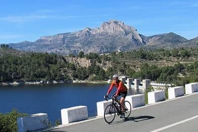
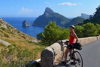
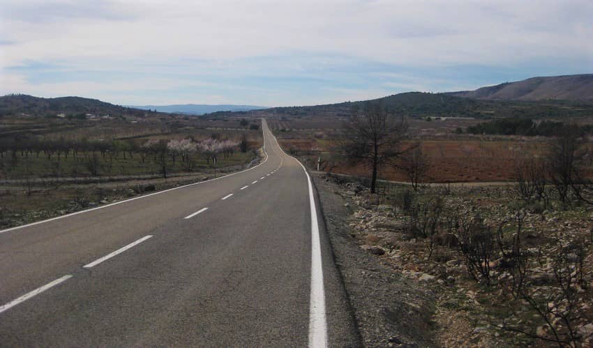
Montmayor is the highest road pass in the Sierra Calderona mountains. It is situated on the border between the provinces of Valencia and Castell&oacaute;n and is a really enjoyable climb. The scenery on the lower slopes is dominated by the orange and olive trees that are so typical of the region. A recent forest fire has destroyed much of the vegetation on the upper slopes, but there are still some beautiful views into the valley as you ride along the fast, sweeping bends.Shortly before the top of the climb you pass a chapel built into a cave. A place that was originally constructed and used by shepherds who prayed here for the protection of their flock.
Montmayor is open throughout the year.
Roads & Traffic
The road is in very good condition throughout and there is little traffic on the climb.
Chirivilla
Eslida
Almedijar
El Garbí
In the links below you can find out more about this and other tours that we run nearby.
Alternative Routes
Montmayor can also be reached from the south. This is more of a rolling road than a true climb; although there is some sustained ascending before the town of Alcublas.Nearby Climbs
Chirivilla
Eslida
Almedijar
El Garbí
Cycling Holidays
Montmayor can be climbed as an optional route extension on our Valencia Cycling Holiday cycling holiday.In the links below you can find out more about this and other tours that we run nearby.

 Spain
Spain
